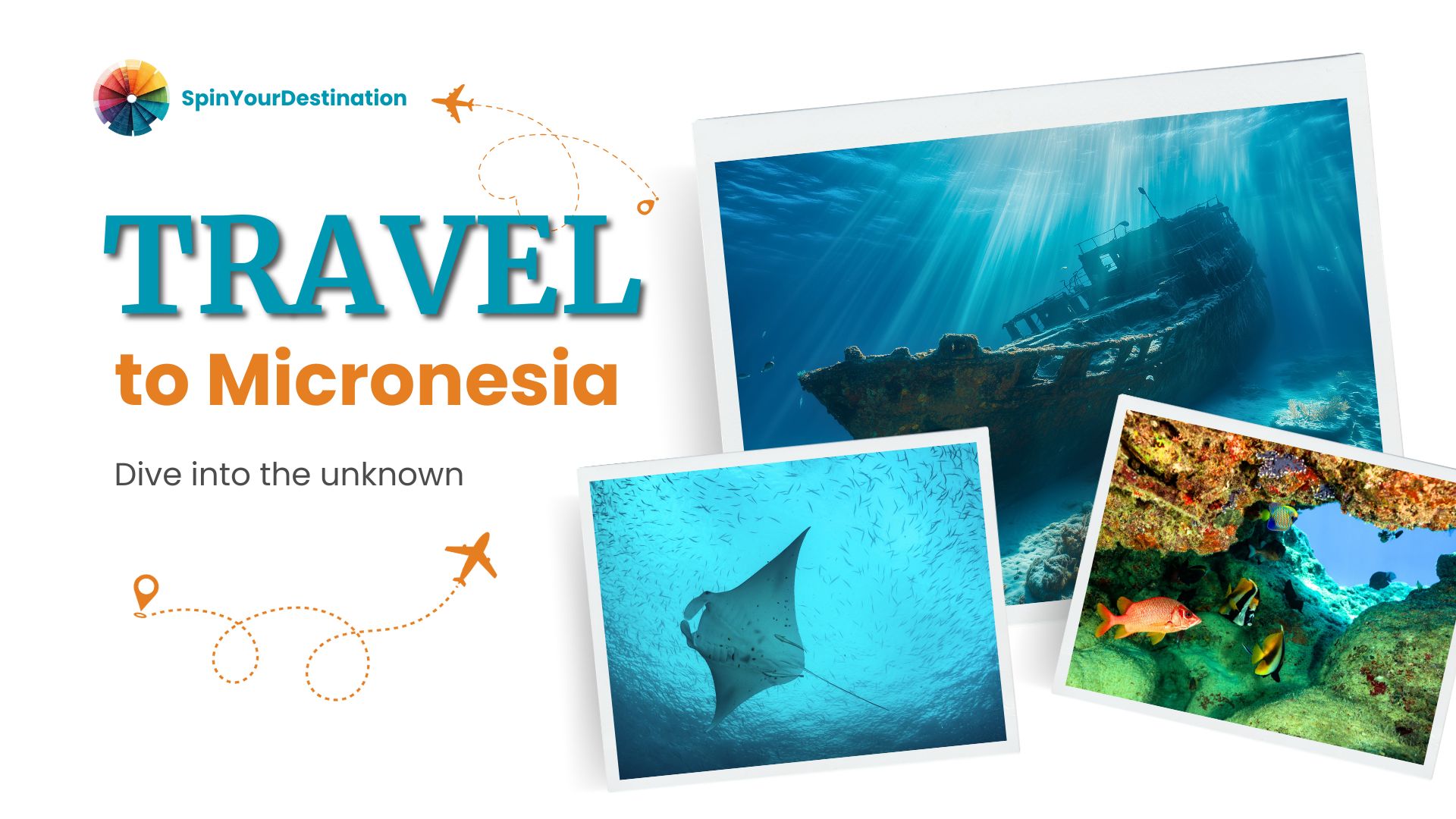
In February 1944, US forces launched Operation Hailstone—a two-day air assault that sank over 60 Japanese ships and 275 aircraft in one of the Pacific War's most decisive strikes. Truk Lagoon, as it was then known, was Japan's most fortified naval base. Overnight it became the world's largest maritime graveyard.
Today, over 50 large wrecks lie within easy reach of dive boats. The Fujikawa Maru is the icon—a 133-metre freighter at 18 metres depth, its hold still packed with Zero fighter planes, its upper deck draped in soft coral. The Nippo Maru carries tanks, artillery shells, and human remains in the engine room.
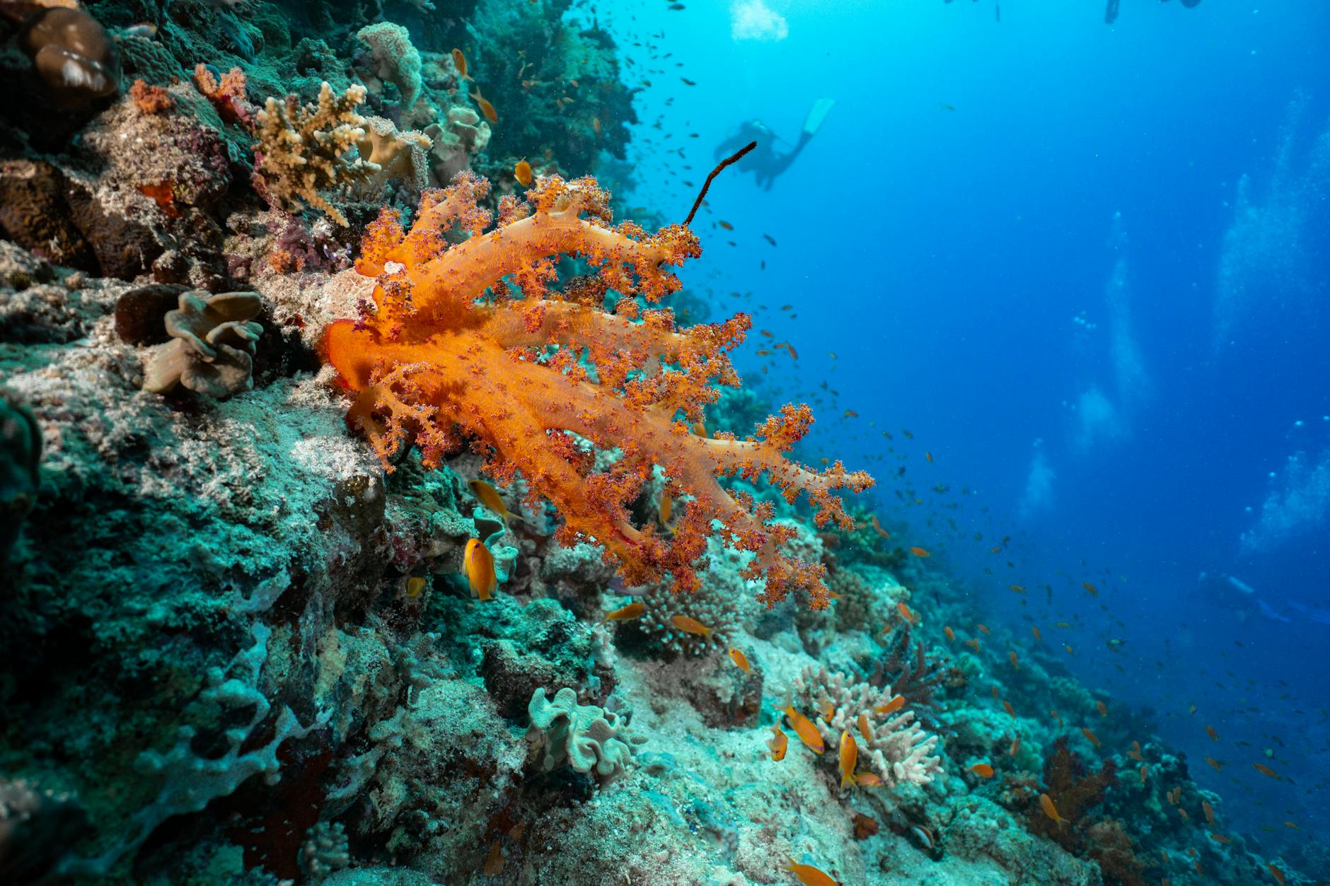
Water temperature hovers at 28–30°C year-round. Visibility regularly reaches 30 metres. Even non-technical divers can access dozens of wrecks. Advanced divers penetrate deep into engine rooms and cargo holds.
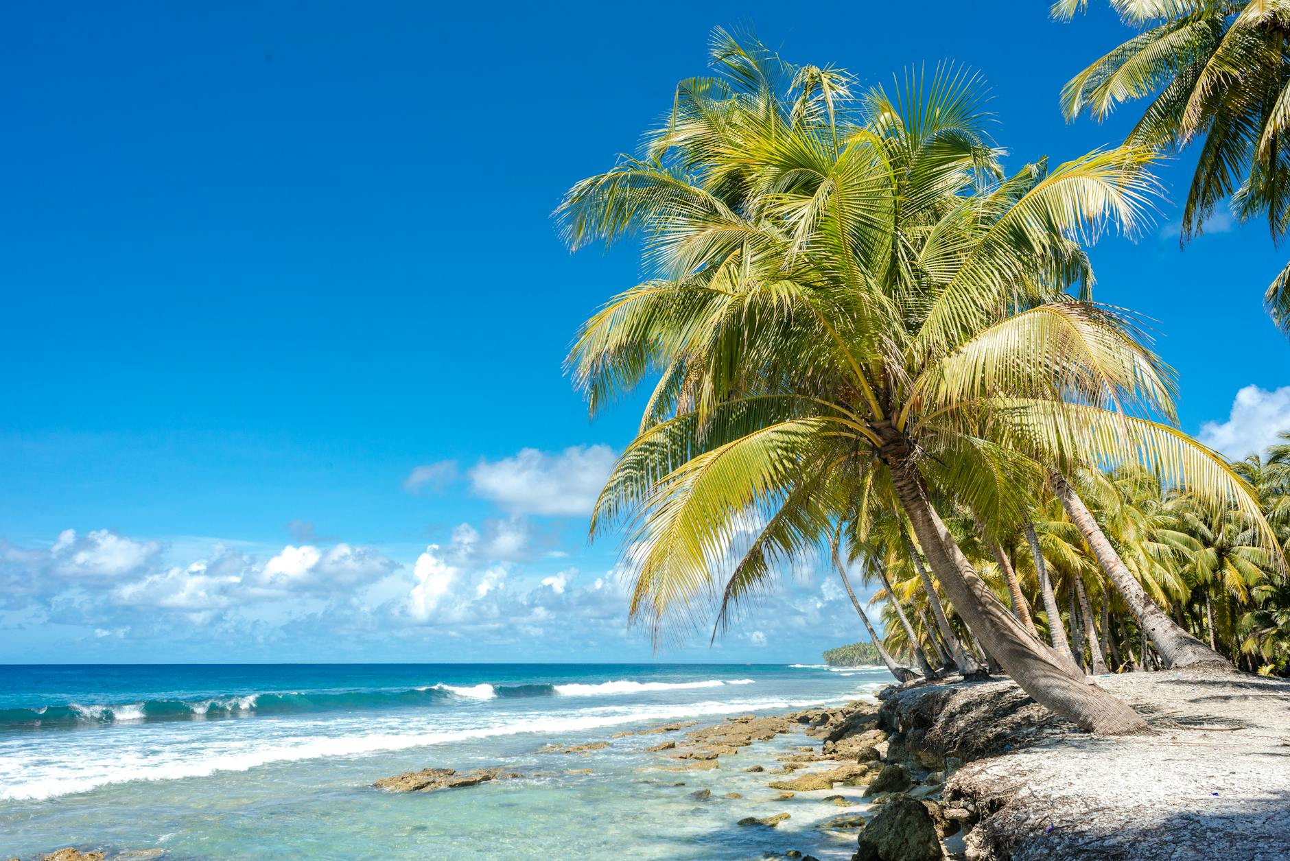
The lagoon itself—60 kilometres across—is sheltered by a barrier reef. Surface conditions are calm. This is not challenging diving. It is simply unforgettable diving.
Weno is the main island and gateway. Dive operators run multiple boats daily. Most visitors stay 7–10 days and still haven't seen everything.
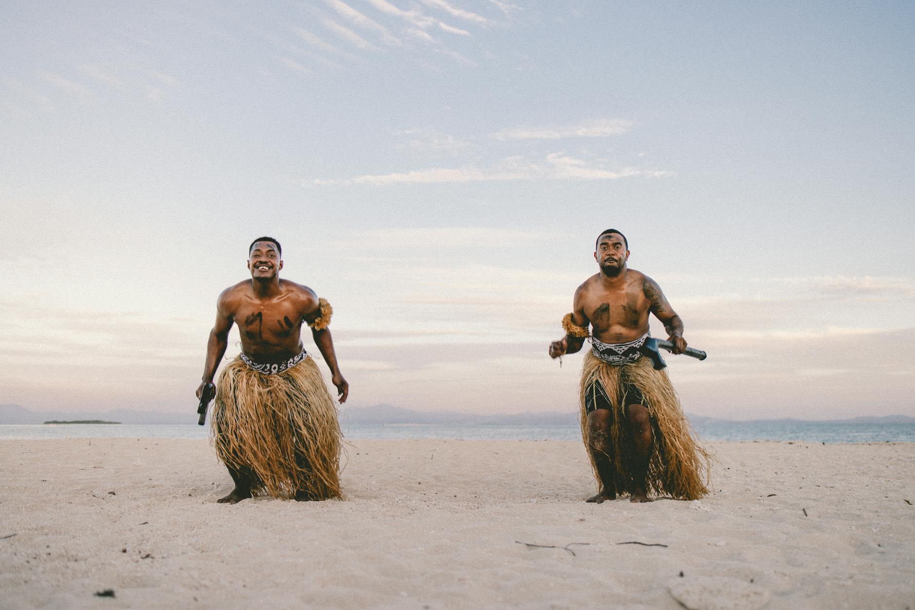
Yap is the most traditional of Micronesia's four main island groups. Here, the old ways are not folklore—they are daily life. Men still sit in faluw (traditional meeting houses). Women weave on backstrap looms. Chiefs hold real authority.
The rai are unmissable. These circular limestone discs—some taller than a person—stand along village paths and in front of meeting houses. Quarried centuries ago on Palau and paddled 450 kilometres home on bamboo rafts, each stone carries a history. The largest weigh several tonnes. Nobody moves them. Ownership transfers by agreement, the disc stays where it stands.
Yap's dive sites attract manta rays year-round. Mil Channel and Goofnuw Channel funnel plankton-rich water, and mantas arrive to feed in large numbers. Encounters are reliably close. Mantas here are comfortable around divers—some individuals have been returning to the same sites for decades.
The outer atolls of Yap State—Ulithi, Woleai, Satawal—are among the most remote inhabited islands in the Pacific. The master navigators of Satawal still teach traditional wayfinding using star paths, wave patterns, and bird behaviour. No instruments.
Colonia is Yap's quiet capital. A few hotels, restaurants, and dive operators. Nothing overwhelming. That's the whole point of Yap.
Pohnpei is one of the wettest places on earth—up to 7,600 millimetres of rain fall annually on its central peaks. The result is extraordinary: rivers run clear and cold through cloud forest, waterfalls cascade into jungle pools, and the island stays intensely green year-round.
Nan Madol is the reason to come. Built between 1200 and 1500 AD on 92 artificial islands in a tidal lagoon, it was the ceremonial capital of the Saudeleur dynasty. Massive basalt boulders—some weighing 50 tonnes—were stacked without mortar to form walls, canals, and tombs. How they were moved from quarries on the other side of the island remains unexplained. UNESCO listed Nan Madol in 2016.
The surf break at P-Pass (Palikir Pass) is regarded as one of the best waves in the Pacific—a fast, hollow left-hander that peels along a reef ledge. Swells from the North Pacific reach it with consistency. The crowd is minimal. You may share it with only a handful of others.
Palikir, the capital of the Federated States of Micronesia, sits on Pohnpei—though it functions more as an administrative village than a city. Kolonia is the commercial centre, with markets, guesthouses, and the national museum.
Sakau—a ceremonial drink made from pepper plant roots—is Pohnpei's traditional social ritual. Sharing it is a gesture of welcome and friendship.
Kosrae is the easternmost and least-visited of the main island groups. Fewer than 7,000 people live here. There are no traffic lights. The single main road circles the island.
The diving is superb and almost entirely uncrowded. Hard coral gardens cover the reef slopes in remarkable condition—a direct result of low visitor numbers. Visibility routinely exceeds 30 metres.
Lelu Ruins are Kosrae's own ancient stone city, smaller than Nan Madol but equally mysterious. Basalt walls up to 10 metres high enclose compounds and canals, built by the Leluh kingdom that dominated the island until the 1800s.
Mangrove forest lines much of Kosrae's coastline. Kayaking through the channels is slow and peaceful—the water is clear enough to see the roots from above, reef fish moving below.
Tofol is the capital. A few shops, a handful of guesthouses. Kosrae runs on its own rhythm. If you need to decompress from Chuuk's intensity, this is where you come.